PurVIEW converts Arc- desktops into precise stereo-viewing and accurate
Virtual-Z 3D feature digitizing environment. The well-proven technology exploits geo-referenced aerial or space-borne imagery and DEM, standard data staples for orthophoto processing—also used in ESRI Image Server .
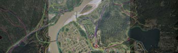
Orthophotos are uniform-scale map-like rectified imagery. Unfortunately, apparent tall feature leans—due to uncorrected object forms rarely modeled in a DEM—cause horizontal positional shifts for the tops…and lee-side occlusion for the base and adjacent features, hampering feature digitizing especially in urban and forestry applications.
PurVIEW eliminates this handicap as not only relief, but also tall objects all appear upright. Even feature occlusion in extreme cases can be overcome by Virtual-Z digitizing the unaffected primary image.
Select a suitable PurVIEW for the initial workload, upgrade when necessary.
COMPARE THE FEATURES AND BENEFITS OF THE DIFFERENT VERSIONS